Support ServicesDrone Services


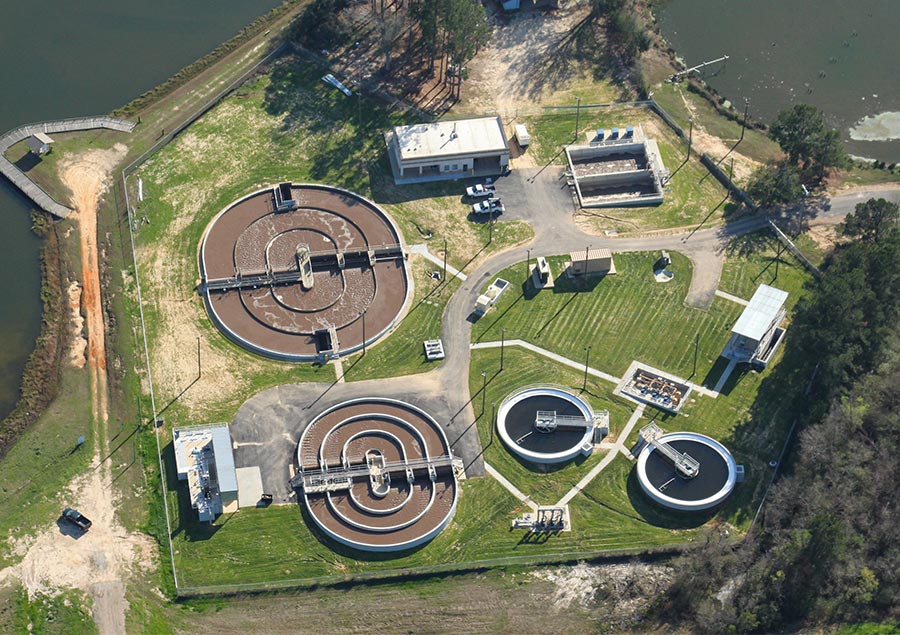
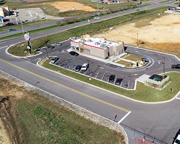
No site can hide from Dungan Engineering’s flying eye. Our engineers operate a modern quadrotor drone equipped with a 20-megapixel sensor that allows us to take high-quality video and photographs from hundreds of feet in altitude, giving clients a unique look at potential sites or ongoing projects that show details that could be hidden from sight at ground level. The machine allows Dungan to engage in a number of real-time monitoring activities, with captured images processed in top-of-the-line photogrammetric workstations to produce simple solutions for construction progress reporting or damage assessments, or more complex products like accurate orthomosaic photography, surface elevation data or three-dimensional models of structures. Dungan’s drone is not a hobbyist’s toy — the device is operated by our team of four pilots, each of whom are Part 107 UAS certified by the Federal Aviation Administration.